

Want to know what’s happening in your neighborhood? Support local news.
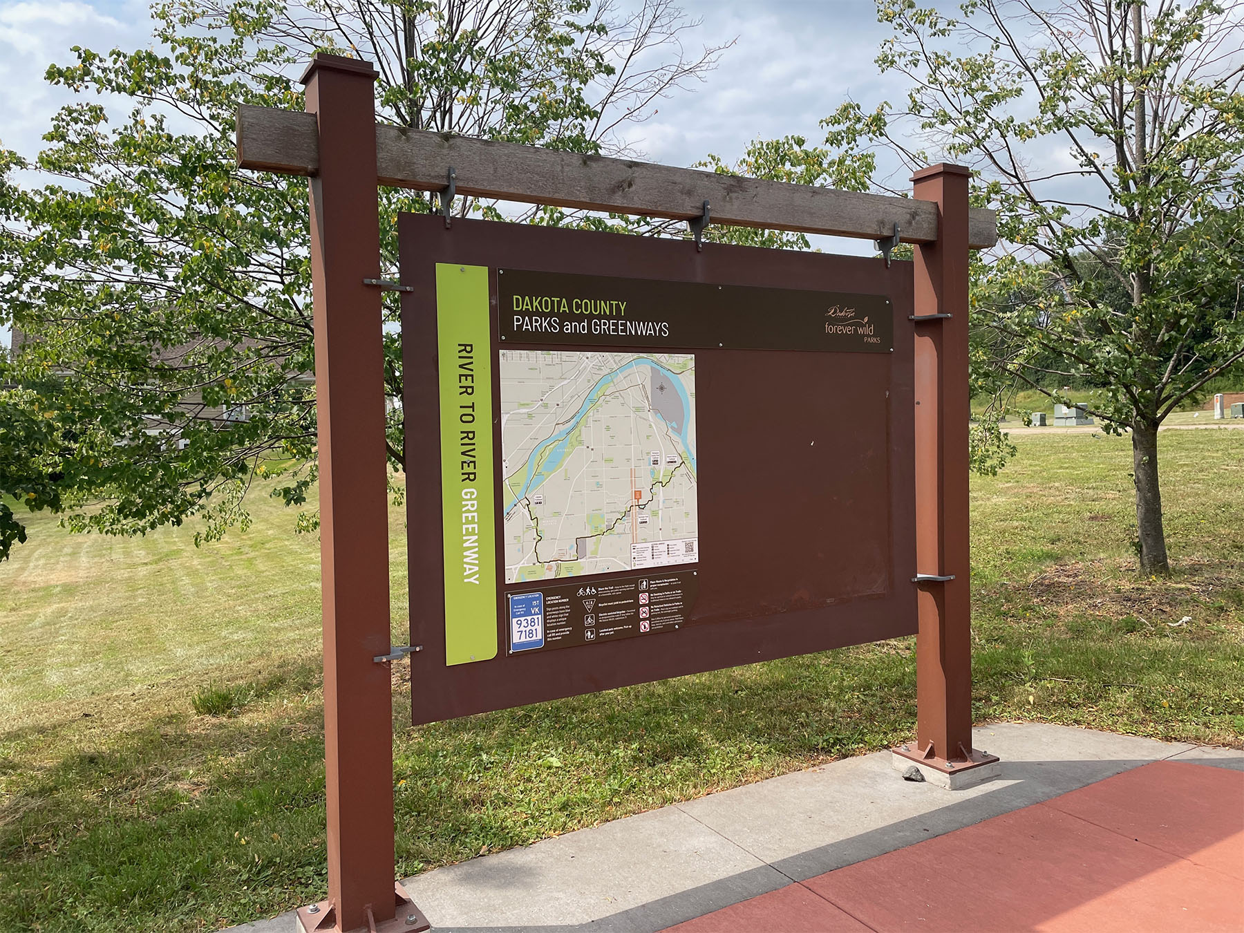
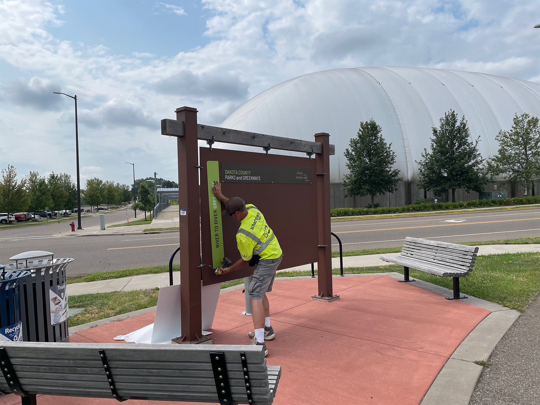
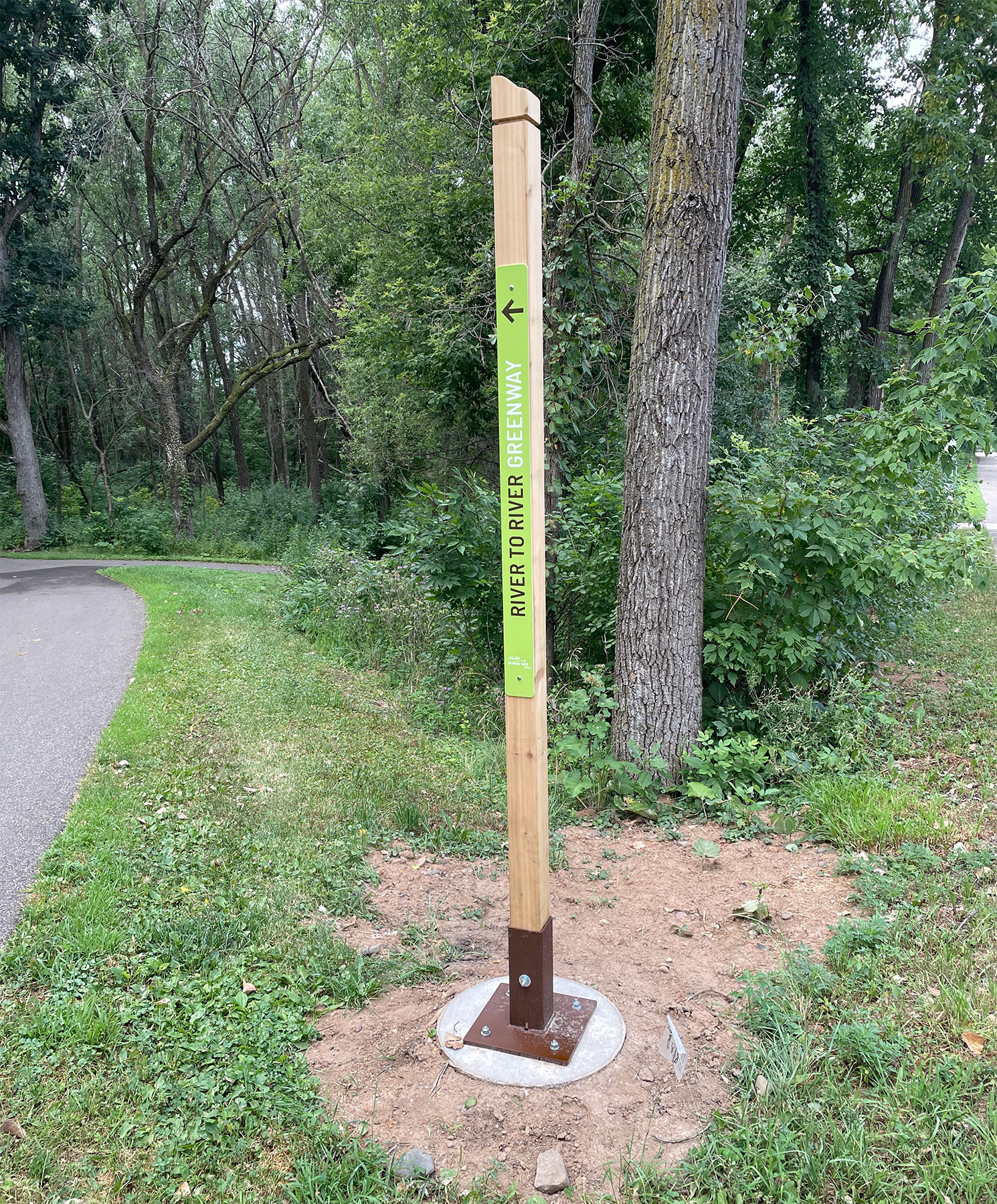
Dakota County is rolling out new signage on the River-to-River Greenway Trail. The signs include simple wayfinding directions as well as more detailed maps.
- Where: The signage is along the River-to-River Greenway Trail starting at the Simon’s Ravine Trailhead in South St. Paul and following the trail west until roughly the intersection of Oak Street and Mendota Road in Mendota Heights just west of Two Rivers High School. Signage further west will be added with the trail repave project happening there.
- Issue: One trouble spot is the Thompson/Oakdale roundabout. The Greenway trail crosses Oakdale as it comes out of the Thompson Oaks watershed, but with paved trail going in all four directions, the Greenway trail isn’t obvious. Existing underground utilities and private property lines means there’s no space for signs. Dakota County is exploring options, one of which might be pavement markings.
- Design: Dakota County has a standards manual that lays out the branding and details to keep the signs consistent.

Local news isn’t free. It’s supported by neighbors like you. Join now to keep your community informed.


